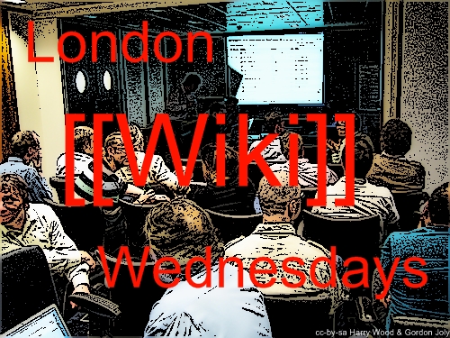
London Wiki Wednesdays last night (Wednesday night in fact) was pretty good. It was kindly hosted by NYK line in the amazing city point tower. Here’s the slides for the little talk I gave:
| ‘OpenStreetMap : The Wikipedia of Maps’ on slideshare |
In fact on the second slide you can see the city point tower in the aerial imagery screenshot.
My talk was explaining the similarities between this large open mapping collaboration, and wikipedia. Although mainly it was just a very quick run through of OpenStreetMap. ( Some links related to the slides: the Flash editor, the desktop app editor, API, mapping techniques, gordo’s photo, stats, the Open License, opencyclemap.org, openpistemap.org, Hiking Map, Whitewater Maps, bus map, CloudMade style editor, and a zoomed in map of the building )
David Terrar is back in the wiki mood and managing to secure venues and sponsors for future months, so I think it’s looking good. It will be somewhere different in November. Check back on the London page for details
