
A couple of weeks ago I was in Plymouth for the Society of Cartographers Annual Conference. Lots of interesting talks and a fun and friendly atmosphere, particularly during the evening entertainment: pub quiz, boat trip and rum cocktails. [update: forgot to say my photos from the conference are here]
I came across a strange new breed of people who knew all about making maps using only adobe illustrator. That’s a side of “cartography” which rarely surfaces at the geo events I’ve been to before (and I’ve been to quite a few now), but this seems like a rather interesting artistic end of a map-making spectrum. I didn’t come across anyone who had tried out OpenStreetMaps options for exporting to Illustrator. This probably needs to be made easier, but I suspect Maperative might be a kick ass tool in this arena. I don’t have illustrator myself, so I’d be interested to know how well it works.
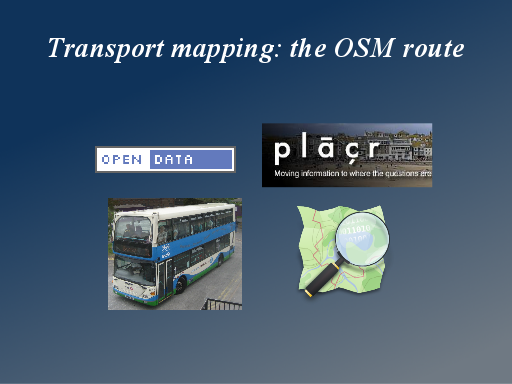
I gave a talk on a blend of topics to do with transport and open data and some of my experience of mobile geo development. I talked through some stuff I’ve been working on at placr.co.uk: The UK Travel Options iPhone app, and the more recent placr.mobi mobile website. Then I gave a few more nice bits of bus route related technology (and cartography) coming out of OpenStreetMap.
The slides and notes (approximately what I said in the talk) are included with the presentation on slideshare, or OpenOffice download, or PowerPoint download …or here it all is in good old pictures & text:
Slide 0
I’ve got four different things I want to talk about.
I want to talk about Open Data, and specifically Open Transport Data. And I want to talk about the work I’ve been doing at placr.co.uk, and finally my hobby and passion OpenStreetMap.
Lots to cover, but fortunately they’re all wonderfully interrelated, so it’s really just one big topic.