Stag, Conferences and other chaos

There’s been lots of things keeping me busy these past few weeks.

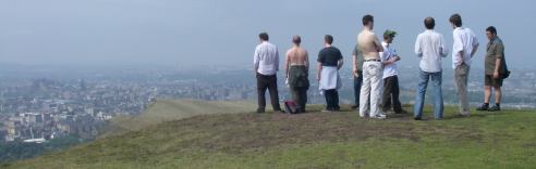
I just got back from a stag weekend in Edinburgh at which I discovered that I am surprisingly good at clay pigeon shooting, but losing my touch when it comes to taking alcohol ….or leading the way with the excessive stag party boozing, depending on how you look at it. Today was baking hot weather. Yes! in Scotland! I was surprised. I should’ve known that would happen though. I was hungover, and hadn’t packed my sunglasses.

Stag Party Author’s Seat
UPDATE: My photos on Flickr, Fudo’s photos on Flickr

On the train I finished reading The Future of the Internet and How to Stop it. Very interesting book. I’ll have to dedicate a full blog post to it.

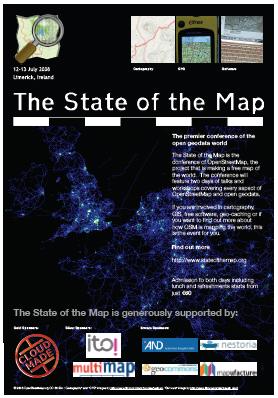
The openstreetmap conference was great. It was good to talk face-to-face with people behind the some of names I’ve been interacting with online. Lots of presentations and conversations which were thought provoking and educational. I also learned that if you drink too much guiness your poo goes very dark. Since the conference I’ve been meaning to get around to following up on various ideas I’d discussed with people. I don’t seem to be very good at finding the time for sitting down and coding, but…

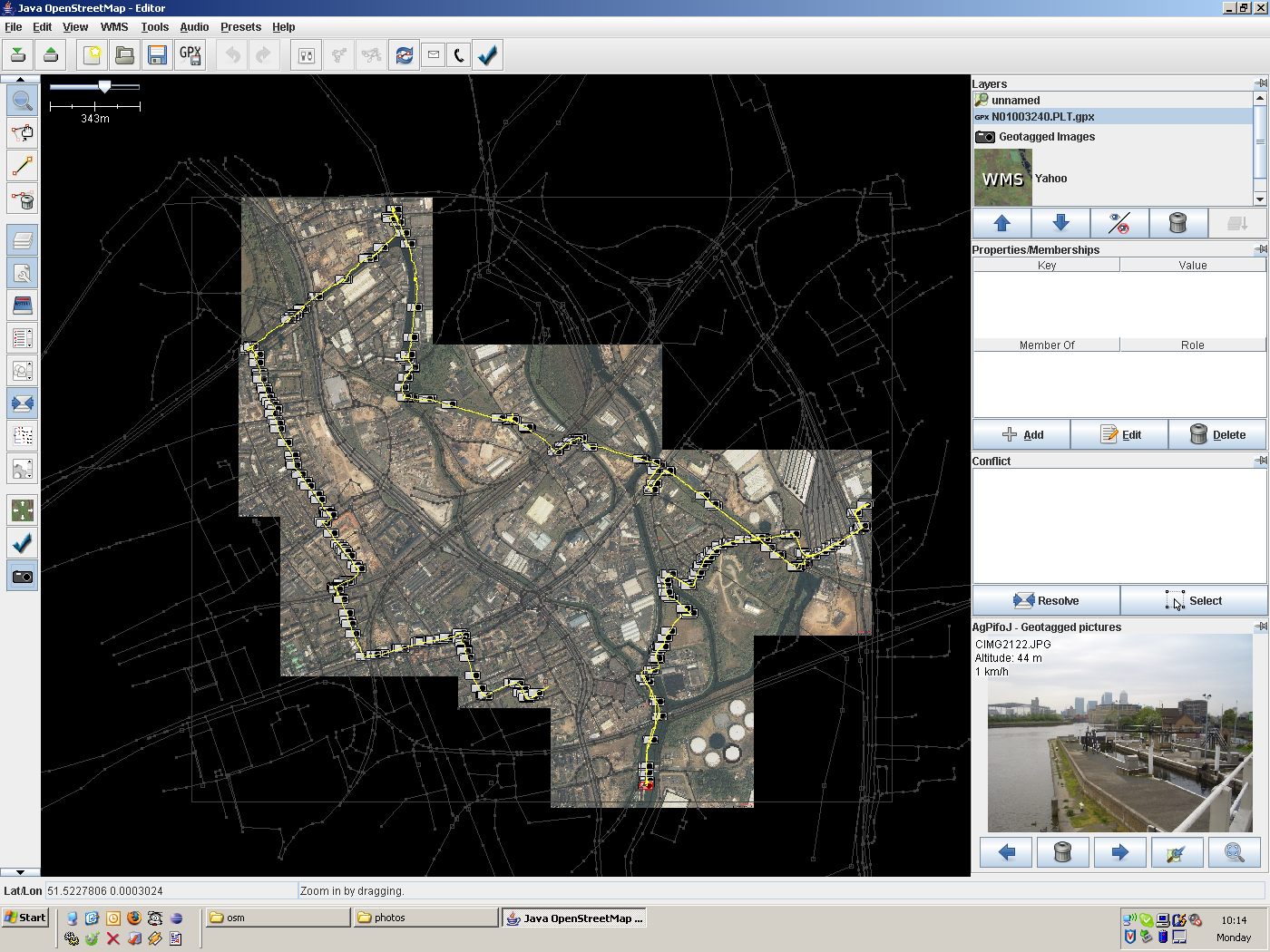
I have found the time to be out and about doing more mapping, including bagging the Emirates Stadium. It’s always quite satisfying when you find a pocket of unmapped stuff, and you feel like you’re bringing the area up to a good level completion, but finding a missing sixty-thousand seater stadium was a bit of surprise! It’s because it is quite new, so people hadn’t spotted on Yahoo aerial imagery (because it isn’t on there)

What else? At work I’ve had a couple stressful days. I had to give a demonstration of new portal changes to some council big-wigs, and then at the end of last week I was deploying these changes on the live server. This didn’t go as smoothly as I had hoped. I had to stay late fixing things.

My little sister’s just been moving her stuff out, and my Belle moved out already. Soon the redecorating chaos will commence.

Going to the OpenStreetMap conference

State Of The Map 2008 PosterToday I’m flying to Ireland to go to The State of the Map, a conference all about OpenStreetMap. I’ll be spending this weekend meeting other OSM people and seeing a whole variety of talks on different aspects/ideas around project. I’m excited. Does this represent a disturbing escalation in my irrational obsession with this thing? …Let me explain.

I find the project compelling in many different ways. Like wikipedia, we’re building something great and free for the benefit of everyone. Unlike wikipedia, it’s only the beginning. The fun stage. We’re still very much building the map to achieve basic coverage. It’s exciting to be involved at this early stage. We are pioneers. It hasn’t (yet) reached that turning point where the whole exercise becomes anal and pedantic (as wikipedia feels sometimes). Even the mapping software is still under development. Maybe it always will be, because there’s limitless potential for new gorgeously visual graphical map editors and renderers.

And what’s so great about maps? Maps are fascinating to look at, but they’re also deeply anchored to the real world. They represent the world I travel to work in, and the world I go on holiday to. But the thing about OpenStreetMap which is simultaneously frustrating, bizarre, and amazingly fun: map copyrights, when you follow through the reasoning, will point to one ridiculous/marvellous conclusion: We have to go out and explore! Now I’m in a world where every street is waiting to become a tagged data element. Every journey is a mapping opportunity.

….Nope. I’m still coming across as disturbingly irrationally obsessed aren’t I?

The bad thing is, I’m taking Francine along with me to the conference. She wanted to come along for a fun weekend of flights and hotels and visiting Ireland. I’m a bit worried she might be bored senseless.

Mapping the Three Mills Loop

The weekend before last we went on an organised walk and talk called Three Mills Loop around Bow in East London. It was organised by Gordon Joly, who is someone I meet up with at wiki gatherings. He’s a prolific photographer of random bits and bobs around London, as indicated by his flickr photostream which literally streams a constant flow of new photos appearing on my ‘friends photos’ display. But while he was guiding us and talking about some of the sites on the walk, I thought I’d out-photo him on this occasion. I took 274 photos around the route! They were mostly exceedingly uninteresting though, because I was actually doing some photo mapping, so it was pictures of street signs, pubs, post boxes and other mappable things. In the openstreetmap software I can lay out the photos along my GPS trace.

Three Mills Loop photos in JOSM
click to enlarge

That’s what it looks like alongside the nodes and ways of the openstreetmap data (shown here as a deselected layer in faint grey). The openstreetmap data can be modified in this JOSM software. I was able to develop the coverage, adding new street names etc which were missing from the map before. My contributions now appear on the map of the area

A recently added feature of openstreetmap is the ‘Export’ tab, which allows export to SVG format. This means you can play around with a vector representation of a map, with full power and flexibility to craft your own image. I tried this for creating map images for wikipedia articles. This walk presented another opportunity to give this a try. Here’s a map illustrating the route of the Three Mills Loop walk:

Three Mills Loop Map

This map image isn’t just a yellow line overlaid on top of an OpenStreetMap image. I’ve customised the map graphic (using inkscape) to tidy it up. I corrected some of the rendering quirks, including moving some street names, removing extraneous one-way arrows and A/B road markers. I’ve also made the area around Bromley-by-Bow station much clearer, including pedestrian underpasses, to make it easier to find the House Mill meeting place:

House Mill Access

This has been made possible by the recently added ‘Export’ tab feature of OpenStreetMap. Try doing that with google maps!

The walk route took us past some pleasant canal scenery, and we passed right through the Olympic construction zone. It turned out that the extents of this needed to be updated on the map (although it no doubt still needs some further corrections). This was an interesting sight to see, as was the old Victorian Abbey Mills pumping station.