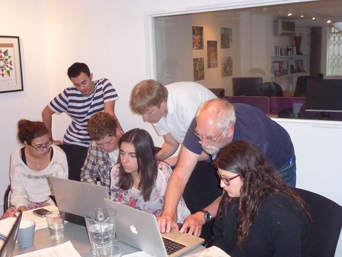
Recently we celebrated one year of “Missing Maps” events. These humanitarian OpenStreetMap mapathon events have been very successful, packing out venues in London every time, with enthusiastic new mappers, who bring their laptops and perform remote armchair mapping of far off lands.
We’re successful at getting new mappers involved, and as we teach them, we drive up the quality of the basic data, and also help some of them to become quite advanced mappers (only some. That’s the long tail curve after all)
Meanwhile the OSMLondon pub meet-ups remain successful too in their own way. I’ve been organising them for years. Going back through the history of OpenStreetMap we’ve always had our merry band of OpenStreetMappers meeting in pubs, and doing London mapping.
I’m very keen to promote more cross-over. These newly recruited humanitarian mappers are yet learn about the joy of on-the-ground survey-based mapping. Mapping your own neighbourhood is the OpenStreetMap way. It seems like a vital missing piece of the puzzle really, if these new mappers are to truly integrate and be a part of the OpenStreetMap community.
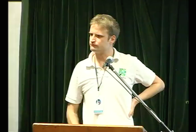
So given a speaking slot at this special OSMGeoWeek Missing Maps event, I had a go at explaining those things… while also talking about pubs a lot! Here’s the slides and Continue reading “Missing Maps talk: OSMLondon & Mapping your own neighbourhood”